
Work package 4
Work Package 4: Improve flood hazard and risk mapping
In this workpackage the specific knowledge institutes casu quo the participating universities on the German, Belgian and Dutch cooperate in data gathering, creating a model and present a living lab as an experimental possibility to experiment on models and activities .
This cooperation will lead to results that give input for other experts in the field but especially public decisionmakers to get better and additional information as a basis for their decisions.`
Project 4.1.1
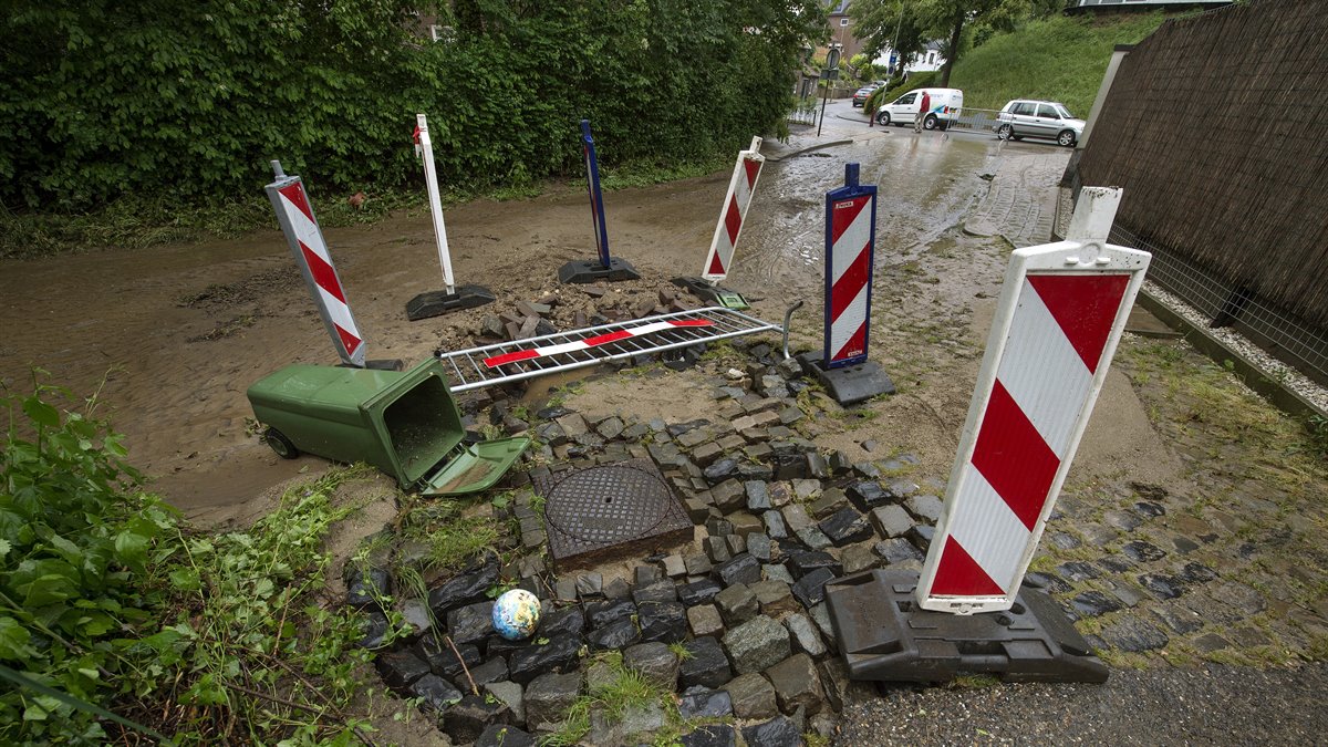
The disastrous flood event of July 2021 gives the possibility to gain new knowledge which will enable to propose adapted models and then design recommendation and operational procedure for assessing the impact of floating debris during floods across the EMR.
The result will be a report containing at least database uploaded on the project website and a dataset of experimental results uploaded on the project website. This, including synthesis of field data of experimental modelling and outcomes, and a description of design recommendation; and operational procedure.
Download final report and data
D.T. 4.1.1 Report_EMFloodResilience (pdf, 2.8 MB)
Database EMFloodResilience - debris - experiments (xlsx, 429 kB)
Database EMFloodResilience - debris - field data Flood 2021 (xlsx, 397 kB)
Project 4.2.1
A physical site investigation report as well as a stakeholder scoping report on the feasibility of an operational living lab in the EMR Region. Next to this, already within the project period a number of experiments and tests will take place in the Living Lab EMR. This living lab will be inspired by the TU Delft fieldlabs and will focus on the specific innovations and experiments relevant for the water system in the EMR area.
Download final report
D.T. 4.2.1 Crossborder Operational Living Labs Scoping (pdf, 6.6 MB)
Project 4.3.1
This pilot project aims to take advantage of recent advances in short-term rainfall forecasting (nowcasting) and hydrological / hydraulic modelling to develop a beta version of what could become an operational Flash Flood Early Warning System for several Meuse tributaries (in any case including the transboundary catchments of the Geul and the Rur).
The project will result in a report with a setup of meteorological and hydrological models, and a beta version of an operational Flash Flood Early Warning System for several Meuse tributaries, including corresponding rainfall / discharge forecasts for major pluvial floods in the recent past.