
Work package 2
Work Package 2: Intensify measurements
During the floods in 2021 it turned out there were problems due to blockages, which led to a backwater build-up. Entrained waste often turned out to be the cause.
When it is possible to have good information on the flow of the 3 rivers and extra tools in the cross border region this would improve early detection on both sides of the border and gives information to the teams in the field to be able to react quickly.
Placing 6 loT water level meters
There is in the process discussion about the quality of the measurements. Several conditions are already defined for the purchase and use of water level meters.
Project 2.1.1
Placing 6 IoT water level meters in the Euregion. This implicates a.o.: clear information on locations with Belgian partners where these meters can be installed, arranging permission on the Belgian side to install the meters and which network can be used cross-border.
Flow measurement on Geul, Rur and Gulp
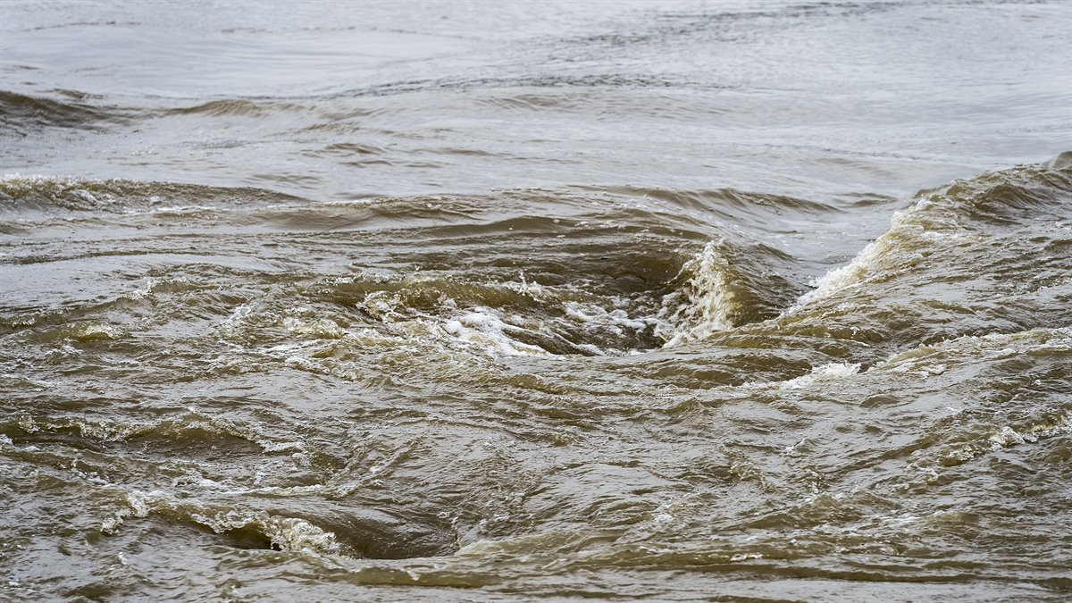
The Dutch province of Limburg is located downstream from the neighboring countries of Germany and Belgium and from the rivers that cross the border. Early warning is important in order to respond. For this it is important to know the flow rates on the most important rivers and it's side rivers.
There are several options for the method of measurement. It is important to have insight into these possibilities, the advantages and the disadvantages, before making a choice for a measurement method.
Download final report
D.T. 2.1.1 report Simple IoT Waterlevelmeters open (pdf, 5.2 MB)
Project 2.2.1
Rur flow measurement report.
A report containing at least a program of requirements for the discharge measurement in the Rur. The requirements for a measurement location and a location survey.
Download final report
D.T. 2.2.1 Rur flow measurement report (pdf, 5.9 MB)
Project 2.2.2
Geul flow measurement report.
A report containing at least a program of requirements for the discharge measurement in the Geul. The requirements for a measurement location and a location survey.
D.T. 2.2.2 Monitoring discharge continuously in the Geul (pdf, 2.9 MB)
Project 2.2.3
Gulp flow measurement report.
A report containing at least a program of requirements for the discharge measurement in the Gulp. The requirements for a measurement location and a location survey.
ADCP high flow measuring boat
During high water, fixed measuring equipment can be damaged or flooded by too high flow rates, making the measurements unreliable. The solution is to measure from the water with special measuring boats.
The floods in 2021 clearly showed the need for a larger boat that can withstand the strong currents and can take more equipment on board if necessary.
Download final report
D.T. 2.2.3 Monitoring discharge continuously in the Gulp (pdf, 2 MB)
Project 2.3.1
Procurement of a ADCP high flow measuring boat.
Webcams to protect the Water system
During the floods in 2021 it turned out there were problems due to blockages, which led to a backwater build-up. Entrained waste often turned out to be the cause. Because in times of a crisis the employees cannot be in all places at the same time, it is important to monitor the operation of the system via camera surveillance. We start with placing of 10 webcams on critical locations.
Download final report
D.T. 2.3.1. Report Interreg ADCP high flowmeasuring boat (pdf, 1.6 MB)
Project 2.4.1
Procurement and placing of 10 webcams.
Download final report
D.T. 2.4.1. Report Interreg 6 webcams watersystem (pdf, 4.3 MB)