
Work package 6
Work Package 6: Direct impact on example situations
In the last work package partners will develop plans, regarding impact and risks of flooding, to see if interventions in the flora and fauna can lead to changes that make it easier to deal with extreme conditions in nature or the rural area. Partners will exchange the information, methods and plans obtained in this way, possibly adding an extra dimension to the plans to be drawn up.
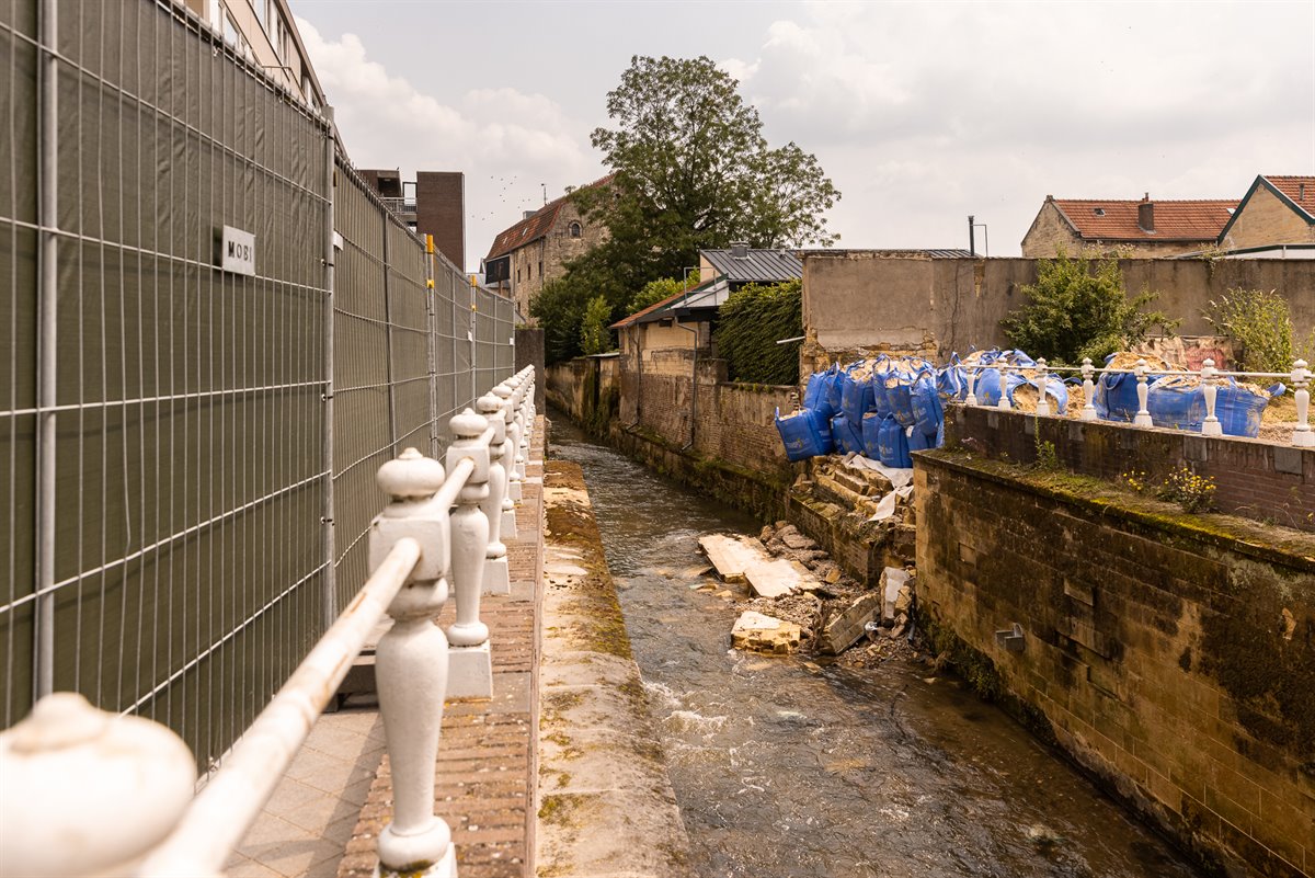
Improvement of flood protection river Wurm
Implementation of various actions leading to a future improvement of the situation of the river Wurm in the event of flooding and (prevention of) flooding
Project 6.1.1
Evaluation and clustering of flood protection ideas. The result will be a report with an introduction into sub catchment of the (6) municipalities, description of location of flood damage, collection of project ideas, identification of measures for hydraulic / hydrological simulations, further steps and conclusions.
Part of this project are also discussions in working groups and an event to share the knowledge of this project (in circles of experts and stakeholder).
D.T 6.1.1 WVER Evaluation and Clustering of Flood Protection Ideas for the River Wurm (pdf, 1.8 MB)
Project 6.1.2
Report on hydraulic flood protection Wurm. containing: Flood maps as result of 5 further scenarios for existing official flood hazard maps (Bezirksregierung Köln) for the river Wurm / Worm as preparation for the further steps on risk assessment. Report on the damage potentials in the mainly affected areas in the Wurm catchment. Report on simulation for flood protection measures in 8 mainly affected areas, on impacts to the areas downstream, on the evaluation of the measures based on a cost-benefit analysis in the Wurm / Worm catchment area.
Lastly, part of the results are the minutes of a meeting where the results are discussed with all participants.
Topographic surveys and hydraulic modelling studies on the province of Liege territory
Since last July 2021 flood, citizens and municipalities’ expectations have been increasing regarding a better knowledge of rivers behavior and identification of realistic solutions to tackle the flood disastrous impacts.
The Province of Liege wants to implement several hydraulic modelling studies using the Infoworks ICM software. The advantage of this software is its compatibility with other modelling tools used par the SPW and other public funded companies managing the sewage networks.
D.T 6.1.2 WVER Report on Hydraulic Flood Protection River Wurm (pdf, 967 kB)
Project 6.2.1
Hydraulic modelling studies for the Province of Liege territory. Based on discussions with region and municipalities a choice of 4 river locations, 4 Reports will be made (1 per watershed location) with each: a situation info-sheet and explanation of the elaboration, calibration and validation of the hydraulic models, description of the topographic surveys use, an analysis of the existing situation and lastly identification and/or optimization of relevant solutions.
Dynamic adaptation policy pathway map and report
This is a way of dealing with uncertainties of climate change in strategic decision-making. The method combines short-term solutions with long-term planning. In this project Sweco uses the method to create, together with stakeholders, a synergetic adaptation pathway map for the rural area of Weert. From this, the adaptation policy roadmap is determined.
Download final reports
D.T. 6.2.1. Rapport_ruyfffinalv (pdf, 7.2 MB)
D.T. 6.2.1. Avtc_pro_spa_rapport (pdf, 2.3 MB)
D.T. 6.2.1. Avtc_pro_fraipont_rapport (pdf, 6.2 MB)
D.T. 6.2.1 Rapport La Magne (pdf, 15 MB)
Project 6.3.1
DAPP map rural area of Weert.
It includes area analysis including bottleneck analysis and measure analysis, a description of 2 preferred paths. Also the applicability of DAPP methodology to other areas in the region will be described and recommendations to decisionmakers for a long-term adaptation strategy for the rural areas of the municipality of Weert.
Download final report
D.T. 6.3.1 Adaptation Pathways municipality (pdf, 7.4 MB)
Project 6.4.1
We will start by identifying the opportunities and bottlenecks for renaturing and flooding in the Wurm between the outlet of the Anselderbeek and Rimburg. This will be done both internally and with other authorities (Dutch and German), companies and citizens. In every next step the community can participate in order to create a design that is supported by the community. This will be done through public meetings, discussions, newsletters, the website, etc With the goal of creating three totally different variants (for example 1. Minimum opportunities for renaturing, 2. Maximum opportunities for renaturing 3. Maximum opportunities against flooding). Then we make a choice of the best variant based on a multi-criteria analysis. We also check for opportunities for more sustainable measurements.
Download final report
D.T. 6.4.1 Report Interreg Renaturing Worm (pdf, 2.4 MB)
Project 6.4.2
The next step will be detailing the design of the watercourse into implementation plans and doing research into local conditions, such as archaeology, soil and ecology. In every step the community can participate in order to create a design that is supported by the community. After the detailing the design it will be legally embedded in accordance with the new Dutch environmental law (known as the ‘Omgevingswet’) and offering public participation in the implementation plan.
Download final report
D.T. 6.4.2 lmplementation plans Anselderbeek at Rimburg - Renaturing Worm (pdf, 2 MB)